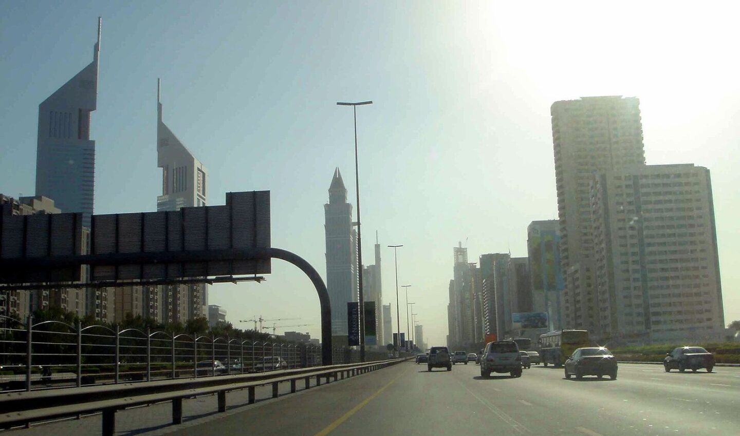
Jumeirah has no Metro station of its own — the long, low-rise strip along the coast sits between the Sheikh Zayed Road rail line and the sea — but it is far from cut off. Your realistic options are Metro stations a short bus or taxi ride inland, a good spread of RTA bus routes running along Jumeirah Beach Road and Al Wasl Road, and the Dubai Tram within reach at the Marina end. Understanding how those pieces connect is what makes living in or visiting Jumeirah without a car entirely workable.
The Metro: close, but not in Jumeirah itself
The Red Line runs along Sheikh Zayed Road, a few kilometres inland from the beach. For most of Jumeirah 1, 2 and 3, the useful stations are typically Financial Centre, Burj Khalifa/Dubai Mall and Business Bay at the northern end, and Equiti and Mall of the Emirates towards the south, depending on exactly where you are. None is a comfortable walk from the beach road in summer — in the cooler months, fit walkers do cover the distance from the nearest streets, but the standard pattern is a feeder bus or a short taxi hop to the station. A taxi from Jumeirah Beach Road to the nearest station typically costs in the region of a modest short-hop fare; treat that as a guide and expect variation with traffic and exact start point.
Trains run from early morning to around midnight (later on some days), with frequencies of a few minutes at peak. Pay with a Nol card — silver is the sensible default for regular use — and remember the same card covers Metro, tram and buses, with one transfer-friendly fare system across a journey.
Buses: the real backbone of Jumeirah transport
Buses are how Jumeirah actually moves. Key patterns to know:
- Routes run the length of Jumeirah Beach Road, linking the flagpole end near Bur Dubai down through Umm Suqeim to Al Sufouh, where they connect towards the tram and Media City.
- Parallel services on Al Wasl Road serve the villa streets a block or two inland, often the more useful stop for residents.
- Feeder routes connect into Red Line stations, timed to make the bus-to-Metro transfer painless.
- Beach and leisure destinations — Kite Beach, La Mer’s area, Jumeirah Public Beach, the canal — each have stops within a short walk, though exact route numbers change as the network is revised.
Check live times and current route numbers in the S’hail app before relying on any printed list, including this one: the RTA adjusts routes as areas develop, and the app shows real-time arrivals at your stop. Buses are air-conditioned, shelters on the main roads are too, and services typically start early and run late, though less frequently late at night.
📸 Follow @dxbtalk1 on Instagram for daily Dubai in photos →
The tram, and the western end of Jumeirah
The Dubai Tram serves Al Sufouh, Knowledge Park, Media City and the Marina — which puts it in range of Umm Suqeim and Al Sufouh residents at the southern end of greater Jumeirah. From the tram you can interchange with the Metro at two stations (Sobha Realty and DMCC) for the ride into the city. If your trip is from Umm Suqeim to the Marina or JBR, the tram — often reached by a short bus ride along the beach road — beats sitting in Sheikh Zayed Road traffic. Trams run at regular intervals through the day and evening; check S’hail for the current timetable and first/last services.
Taxis, ride-hailing and cycling as connectors
Taxis and apps like Careem fill the gaps the network leaves: the station hop, the late-night trip home, the beach run with coolers and children. Jumeirah’s villa layout means many trips start a ten-minute walk from a bus stop, so a hybrid routine — walk or cycle to the main road, bus along it, taxi the last stretch only when needed — is what many car-free residents settle into. The Careem Bike stations and the beachside cycling track, plus the Dubai Water Canal paths, make cycling genuinely useful for local trips in the cooler months.
Planning a typical journey
From Kite Beach to Downtown: bus along Jumeirah Beach Road or Al Wasl to a feeder stop, Metro from Business Bay or Burj Khalifa/Dubai Mall — or simply a bus that continues towards the city. From Jumeirah 1 to the Marina: bus south to Al Sufouh, tram into the Marina. Door-to-door times vary widely with the connection, so build in a buffer the first few times you run a new route, then adjust.
FAQ
Why is there no Metro station in Jumeirah itself?
The Red Line was built along the Sheikh Zayed Road corridor, and Jumeirah’s low-density villa layout sits between that line and the coast — feeder buses are the planned connection. Future network expansions are announced through official RTA channels.
Which Nol card should a Jumeirah resident buy?
A silver Nol card suits almost everyone: it works on Metro, tram and buses, and can be topped up in the app, at stations and at many shops.
Do buses run to the beaches late in the evening?
Main-road routes run late, but frequencies drop at night. Check the last-bus time in S’hail before a beach evening, and keep a taxi app as backup.
Jumeirah without a car is a system, not a struggle — once the bus-plus-Metro pattern clicks, the whole coast opens up. Explore more local know-how at DXB Talk, and find guides to neighbourhoods across the city in the Dubai Areas category.